Fire, Wind, and Air Quality in One View: Ride with GPS Gets Serious About Safety
Ride with GPS adds a Wildfires Layer showing active burns and 5-year history. Stack it with wind and air quality for smarter route decisions.

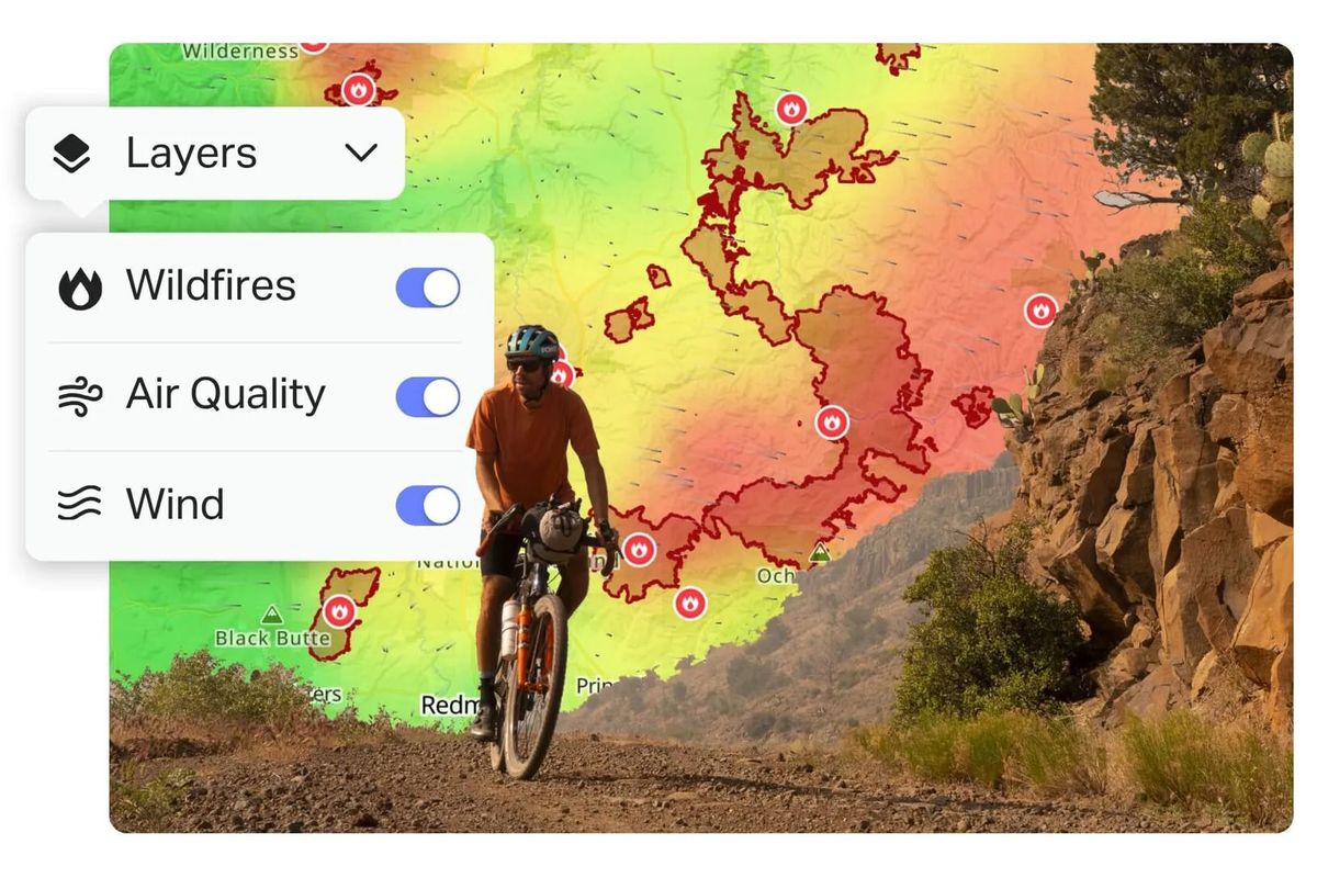
Ride with GPS just added a Wildfires Layer that shows active fire perimeters across the US and Canada, refreshed hourly. You can see current burns, containment status, and—more useful for route planning—historical fire data from the past five years. Stack it with their existing Air Quality and Wind layers, and you've got a genuine decision tool: fire location, smoke direction, and what you'll actually breathe, all on one screen.
The historical data is the quiet win here. Knowing which corridors have burned recently tells you two things: where fire risk tends to cluster season after season, and where you'll find exposed, shade-free terrain that used to be forested. For a dad trying to squeeze a bikepacking overnighter into a narrow weather window, that's the difference between a calculated risk and a wasted vacation day.
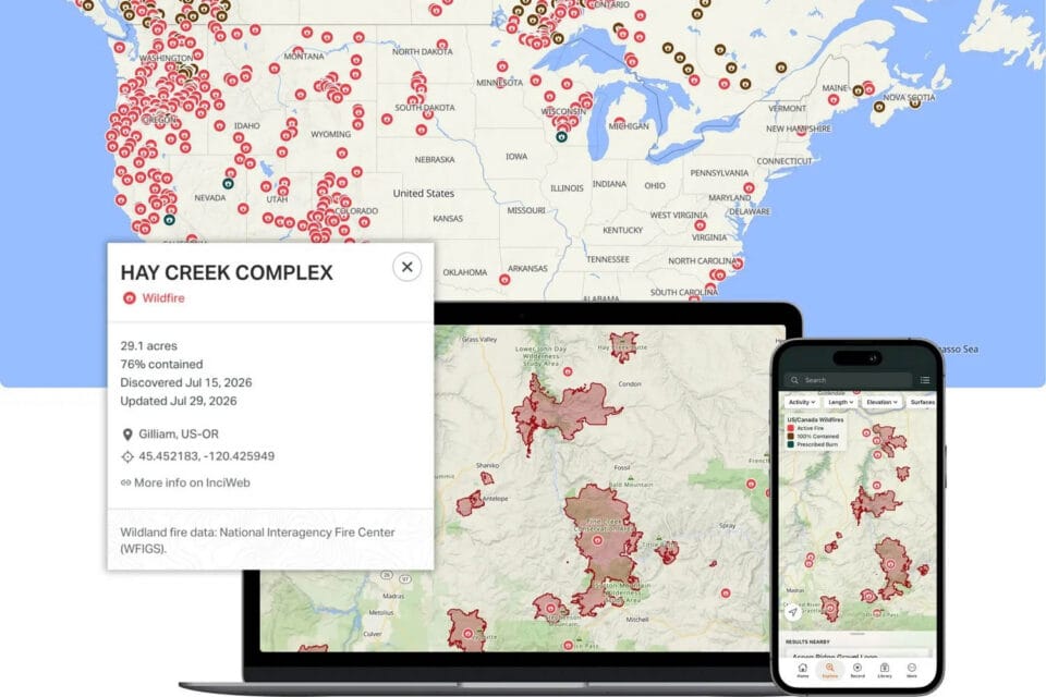
The layer works in route planning, navigation, and the mobile app—everywhere you'd actually need it. One limitation: it's US and Canada only for now. If you're planning anything in Europe or elsewhere, you're still on your own for fire intel. And while the World Map doesn't support it yet, Ride with GPS says that's coming.
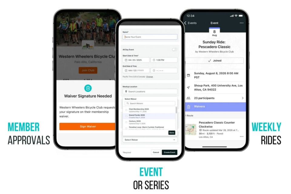
Buried in this release is a separate feature that matters more to organizers than individual riders: digital waiver management. Clubs and event directors can create foundational waivers for membership and layer on event-specific ones. All signatures, emergency contacts, and medical alerts live in one digital location instead of a filing cabinet full of half-legible paper. For anyone who's run a group ride or a small event, that's a meaningful reduction in administrative dread.
The wildfire layer costs nothing extra if you already have a Ride with GPS subscription. Whether it's worth the annual fee depends on how often you ride in fire-prone regions. If you're in the Pacific Northwest, California, or the Mountain West during summer, this is the kind of tool that might save you a ruined trip—or worse. If you're in the Midwest, it's a nice-to-have that won't change your planning much.