Strava Launches Gorgeous New Outdoor Maps

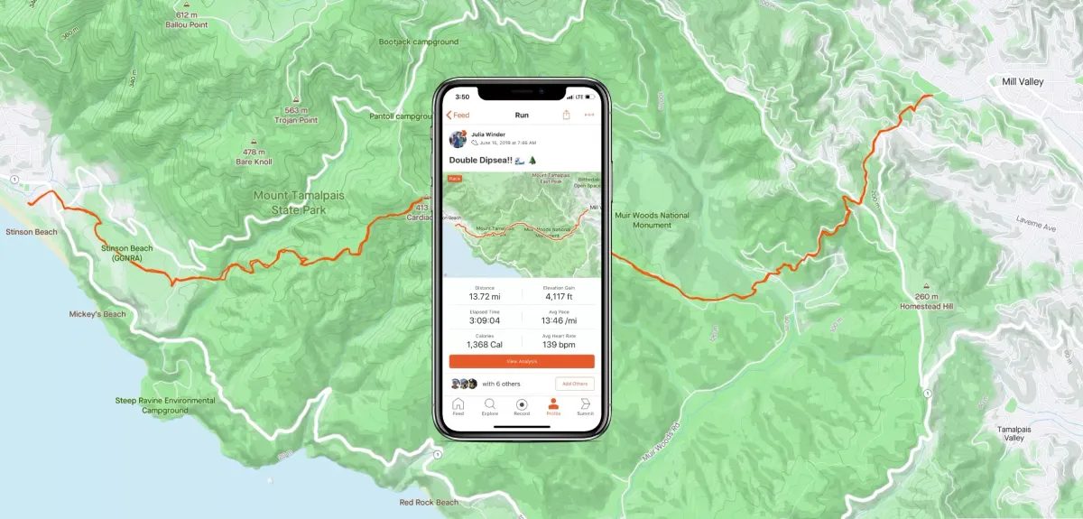
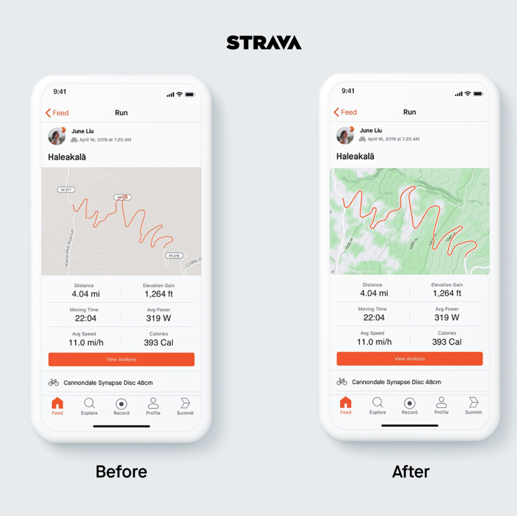
Strava just launched new maps with stunning cartography. The new mapping capabilities give finer on-screen details for cyclists and runners. Working with Mapbox, specialists in custom map design, the popular trainer app has introduced a wave of new features like elevation contour lines, trail names and improved route tracking.
The update is part of a push from Strava to make its mapping systems more suited to cyclists and runners looking for more than an A to B route guidance. For example, Strava mapping will now show elevation and will also further determine whether roads and trails are suitable for use by cyclists.
“We are thrilled to share this significant upgrade with our members, with more terrain detail and improved accuracy and aesthetics for how GPS tracks appear. Mapbox is a mapping leader, and we’re excited about the athlete-optimized map that our two teams created for the global Strava community.” – James Quarles, Strava CEO
The update highlights terrain with a minimalistic style so activity stands out. Most maps are optimized for cars, but Strava’s new maps purposefully de-emphasize car-oriented features like highway numbers in favor of trail names, elevation contours, and smooth traces of GPS activity.
Strava, obviously, will be hoping this update is well-received following the scathing criticism after the app scrapped the ability to pair Bluetooth and Ant+ devices straight to the app.
Strava’s new maps are live now and they look great. If you’re already a Strava user, update your app to see the new features, or download on iOS and Android.


